


.avif)


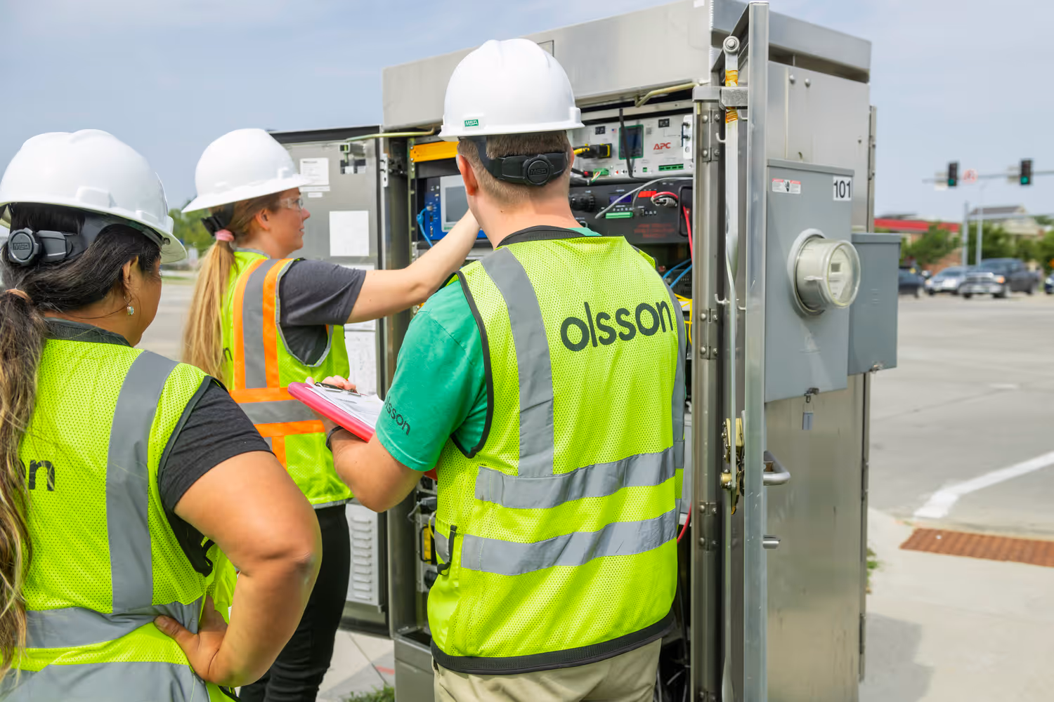
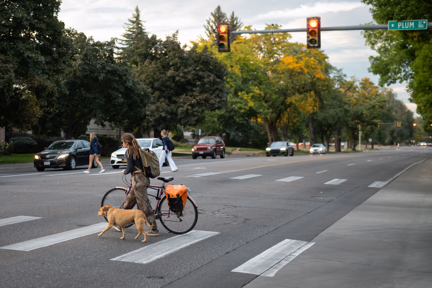
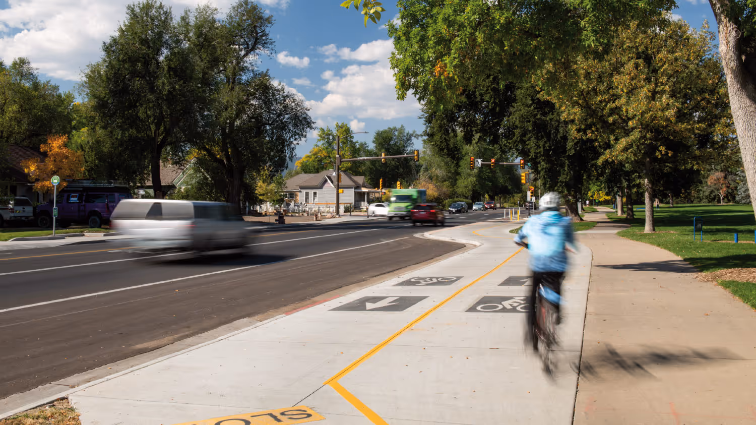
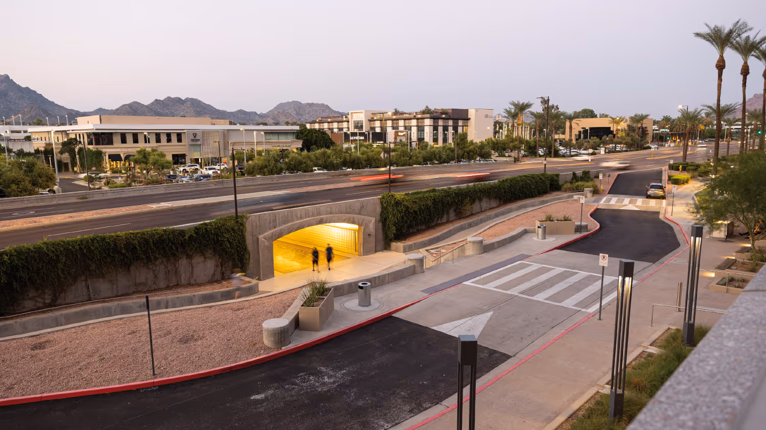
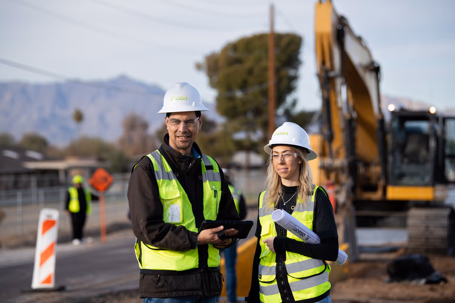
Our experts improve travel times and safety for vehicles, public transit, pedestrians, cyclists, and more. We use the latest technological advances to manage traffic flow – and get you from point A to point B.
Our industry-leading team has a deep knowledge of traffic control devices, signal timings, operations, and integration. We use our expertise to partner with cities and departments of transportation throughout the country to manage the flow of all users on highways, roads, and intersections.