


.avif)


.avif)


Every year, wildfires burn across the country. The average core wildfire season is 78 days longer than it was in the 1970s, with Colorado experiencing large fires every month of the year. Impacts to life, water supplies, and infrastructure can linger long after the fire is extinguished.
In 2021, the Colorado legislature passed Senate Bill 21-240, providing $30 million to the Colorado Water Conservation Board (CWCB) to address local wildfire recovery following the devastating and historic 2020 Colorado wildfires. The legislation also set aside $500,000 for CWCB to assess the susceptibility of Colorado’s water resources, communities, and critical infrastructure to post-wildfire impacts.
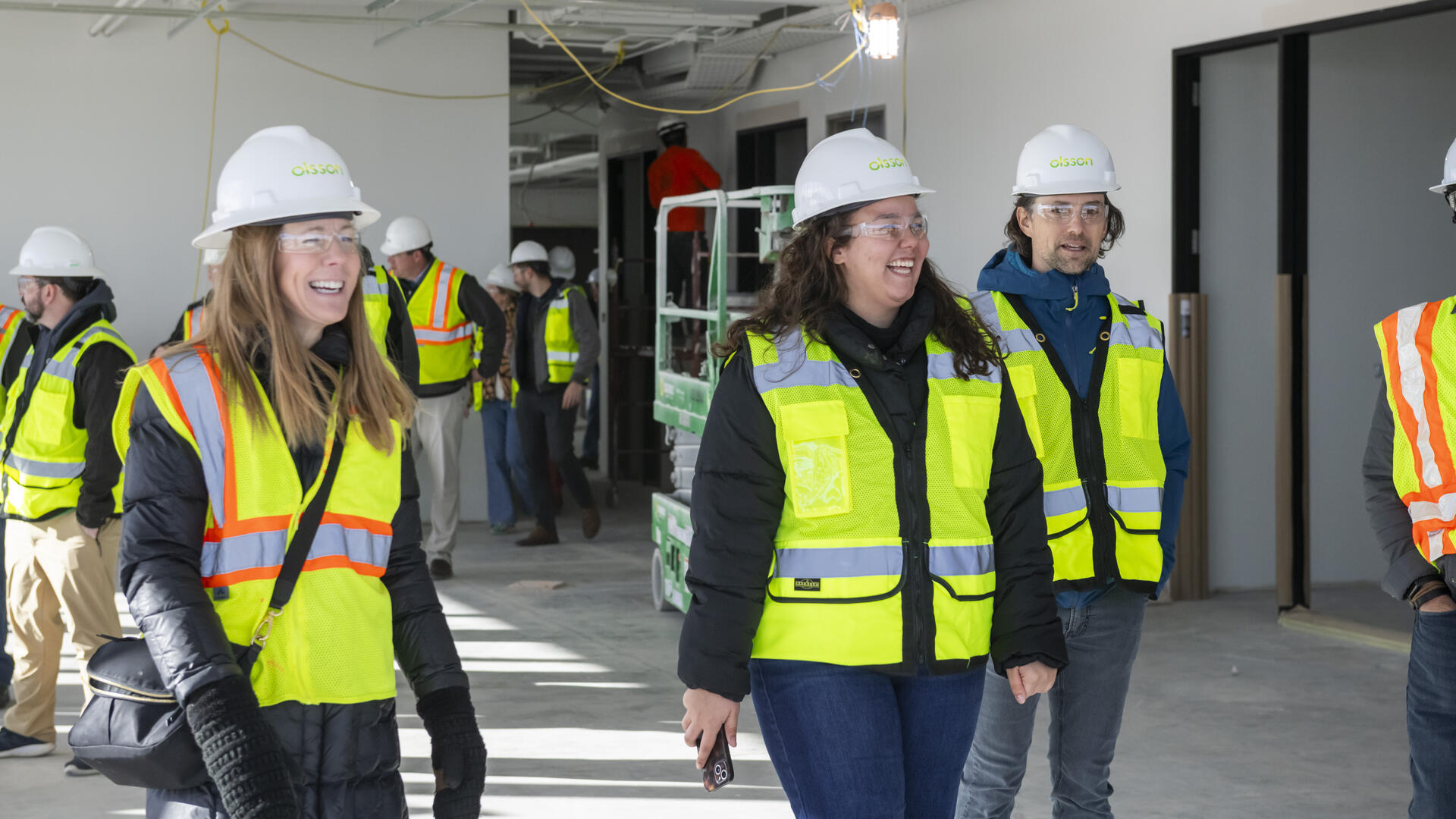
CWCB staff and the technical consulting team, led by Olsson, met in 2021 and developed a program vison and mission, naming the program Wildfire Ready Watersheds (WRW). The mission of WRW was to assess the susceptibility of Colorado’s water resources, communities, and critical infrastructure to post-wildfire impacts while also advancing a framework for communities to plan and implement mitigation and resilient strategies to minimize these impacts – before wildfires occur. The WRW program consisted of two parts:
- Completion of a statewide post-fire susceptibility analysis
- Establishment of a framework that communities can use to perform watershed-scale planning to address post-fire hazards
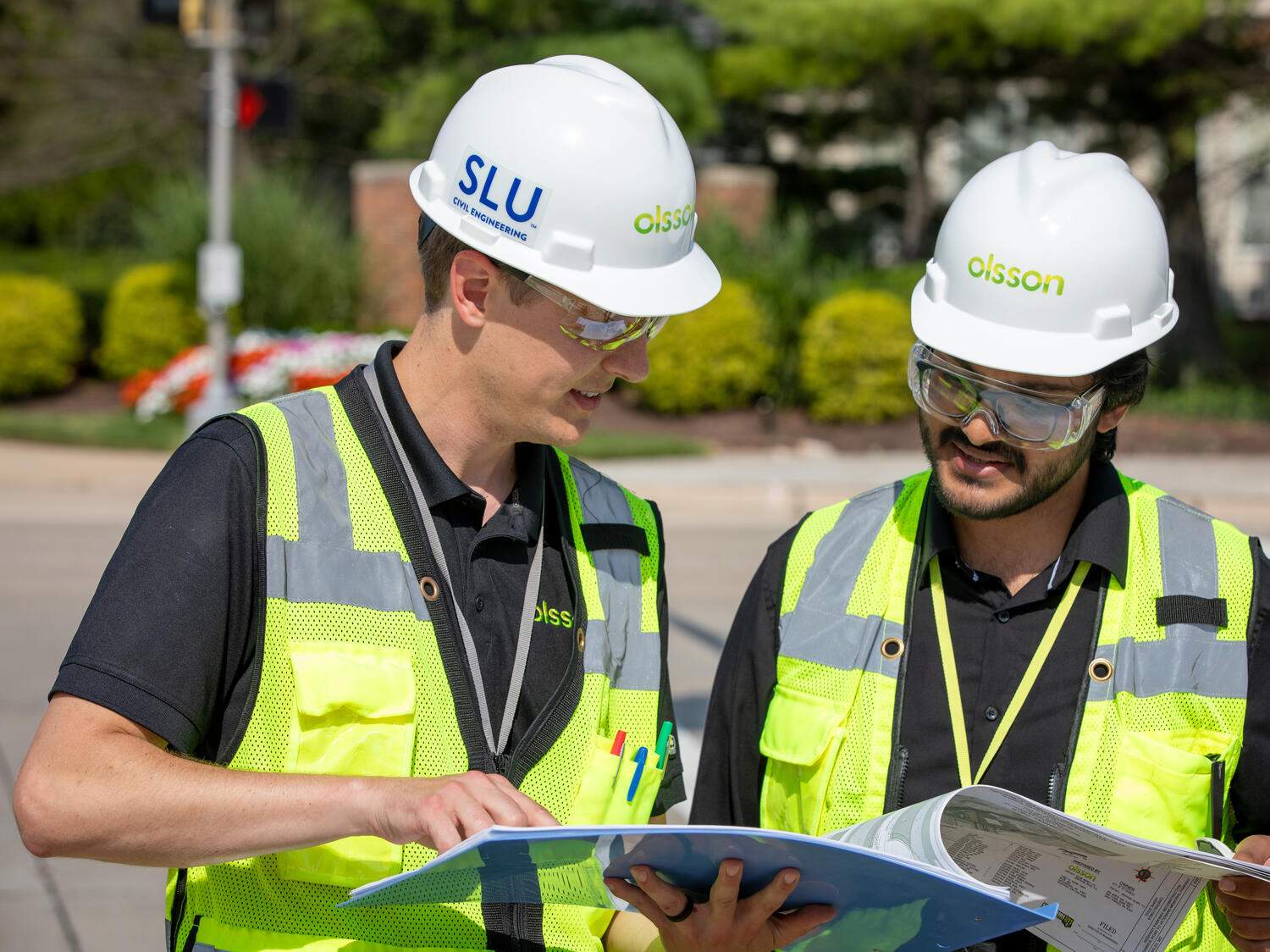
Olsson led the implementation of the WRW program and guided the development of the statewide post-fire hazard risk assessment and the framework to be used for future local studies. Our team provided engineering services for flood and fire support, including hazard assessment and analysis, geospatial analysis and mapping, and program development, including the creation of a program website, template scopes of work, and program fact sheets.
The Olsson-led team completed the statewide susceptibility analysis in late 2022. This effort relied on existing statewide datasets for wildfire burn severity, critical water supplies, populations at risk, and infrastructure. The identification of post-fire hazards used a combination of existing hazard mapping, geologic and topographic data, and other related information to determine potential impacts to values at risk. Collaboration with basin roundtables, state and federal agencies, universities, and other community partners was critical in determining the best, most applicable data and data analysis methods.
Several maps are available that display statewide post-wildfire susceptibility for life and property, water infrastructure, and overall susceptibility that combine both types of values at risk. The WRW website also includes a statewide post-fire susceptibility explorer where interested parties can actively explore the data by turning on and off different values at risk and post-wildfire hazard data layers.
To assist and guide community-level planning, the WRW framework was developed to guide communities and their watershed stakeholders to comprehensive Wildfire Ready Action Plans (WRAPs). The WRAP is a planning process that develops two types of implementation plans:
- Pre-Disaster Preparedness Plan. A plan that considers susceptibility and identifies projects and mitigation that can occur before a wildfire occurs. These mitigation actions are likely to be implemented through traditional forest treatment projects to maximize resiliency at landscape scales.
- Post-Disaster Preparedness Plan. A plan to address threats to life and property after a wildfire occurs. These plans will support local, state, and federal agencies immediately following a fire, reducing response time and accelerating implementation of important mitigation activities.
With the development of the WRW program, wildfire recovery across the state is now focused on proactive mitigation by addressing flood after fire, fluvial hazards, debris flow, and sediment and hillslope erosion.