


.jpg)


.jpg)


.jpg)


I felt pride when I saw the name of a 3D capture consultant buried in the credits of the superhero flick.
“Look! What I do is relevant,” I said to my fiancée and our kids. “Spiderman says so!”
They know I’m a professional surveyor, not an Avenger. But in my daily work, I employ the same 3D capture technology that special effects experts use to make Spiderman swing over a Manhattan streetscape.
Surveyors, however, use the same technology to help identify and map the legal boundaries of land parcels. A land survey is also necessary to record and potentially enforce governing criteria or restrictions related to any building, bridge, roadway, or infrastructure project.
Not that people outside the land development industry would know. But hey, that’s why it’s important for us to share what we do with a wider audience. The newer technology provides a great opportunity to tell our stories, so maybe a few more college and tech school students might find their futures in a profession that’s older than the pyramids.
Cool tools
Surveying provides lots of side-perks. It’s tactical, hands-on, and endlessly diverse.
It’s perfect for people who love working with all parts of their brains.
In simple terms, surveying is the science of making horizontal and vertical measurements of a land parcel that can be recorded and repeated.
Repeatability is achieved by tying the measurement to fixed geographic markers and is the defining quality of a professional survey.
The tools of the trade have greatly advanced over the years from compasses and chains to theodolites and total stations. Today surveyors work with geographic information systems (GIS) and advanced laser technology to capture data-rich imagery of landscapes and everything on them.
The most powerful scanners use lidar, a word derived from light detection and ranging (similar to radar, except it uses light instead of soundwaves). A rapidly firing laser in a lidar scanner emits light to generate millions of highly accurate range measurements in seconds.
The data is collected and modeled in point clouds, ortho images, or digital twin models, which can be used to create 3D visualizations of the surveyed area.
A unique skillset
Anyone can push a button and capture a scan. Anyone, that is, who can afford lidar scanners that cost $125,000 or more. 3D capture scanners are also commonly used in geology, archaeology, paleontology, map-making, and the military.
What makes surveyors different from others in the geospatial realm is our ability to orient the scan to fixed geographic coordinates. Survey-grade control creates a legal record that preserves the precise size and location of a land parcel, its structures, and its features. This legal responsibility is the main reason surveyors must obtain and maintain professional licenses.
Over the years, I’ve learned that other disciplines appreciate a surveyor’s specialized skills. For example, after giving a lidar presentation at a conference in Anaheim, California, a colleague and I were approached by members of NASA’s Jet Propulsion Laboratory.
It was kind of mind-blowing to compare notes with people who do interplanetary exploration for a living.
In the field, in the office
Once the data is extracted, a surveyor uses software to turn it into 3D digital or physical models.
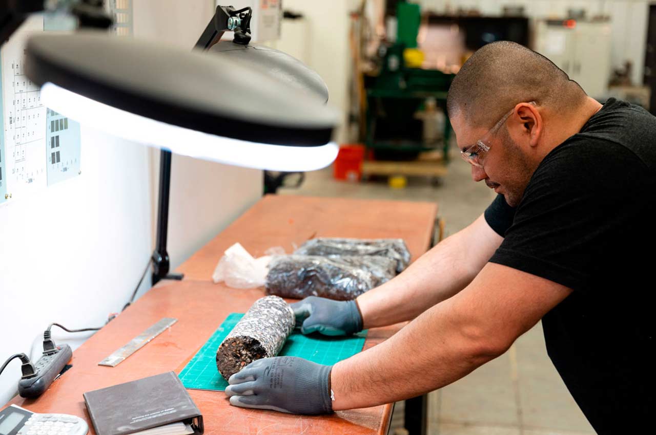
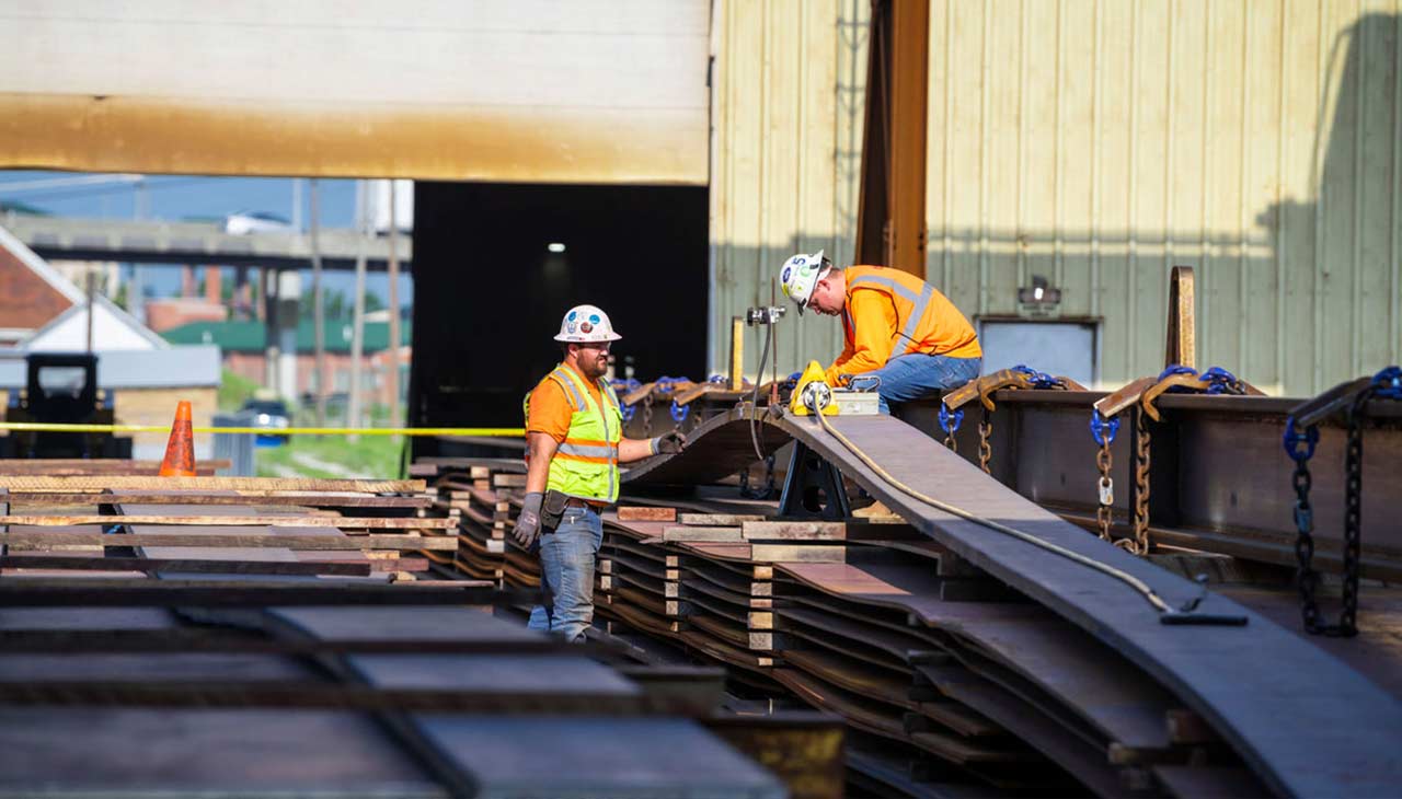
We routinely capture scans for Olsson’s engineers and landscape architects to create project modeling of downtowns, business districts, housing developments, parks, and more. We also use the technology for more unusual applications like scanning caves, mines, factories, energy projects, and other structures or places where precision and detail matter.
The profession provides a mix of venues for someone who appreciates both field and office work. And for those who geek out on tech, surveying provides an abundance.
Besides operating terrestrial scanners that cost more than a new Porsche 911, more and more surveyors are learning to fly lidar-equipped drones as well.
Plus, anytime the Green Goblin throws Spiderman through a Brooklyn storefront, a surveyor knows how the magic was pulled off. So, one hazard of the profession might involve sitting all the way through the movie credits in appreciation of a job well done.